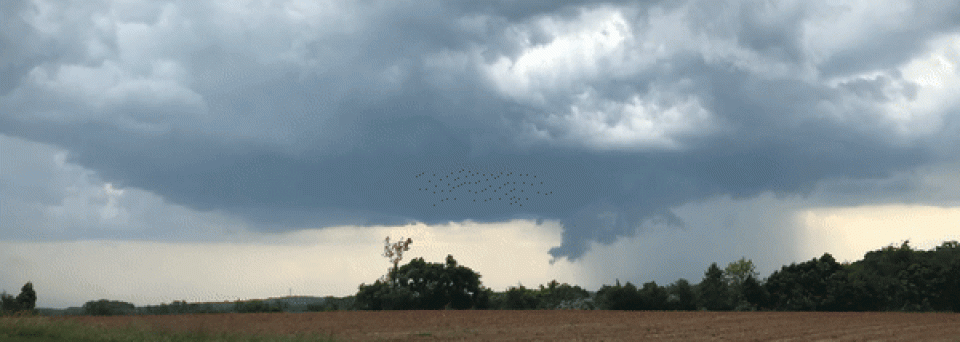
Given that today’s cold front passage is supposed to ease back the heat and humidity I was anxious to chase the storms associated with it, so I motored up to Bealeton on Route 17 and stopped there at 3:00 pm to monitor the situation. The frontal storms lined up west to east with individual cells moving to the southeast, and I sat there almost 45 minutes for them to get close enough to see details. The best two cells were traversing the DC suburbs so I regretfully ignored them as I waited for a chaseable storm to distinguish itself.
One finally did become severe-warned as it crossed the Blue Ridge southwest of me so I dropped down to Culpeper on Route 29 and checked radar again. That cell was still the best available so I continued south on Route 15 to Orange, parking on a hill just north of town to watch the approach. It was outflow dominant and pushed out a shelf cloud: When the rain shaft got too close I moved south through town as a very bright CG struck somewhere close with ear-pounding thunder.
As I struggled to stay ahead of the line I was able to snap a photo from underneath the shelf cloud: I dove southeast down Route 33 from Gordonsville to stay ahead of the rain and the very strong outflow. Doing so took me to Louisa before I could find a spot to pull off the road and conduct a “static core punch” as I let the line overtake me. Even tho’ the core of the cell just north of me had a hail marker on it all I witnessed was rain and wind. A chase, but nothing severe.
